A city understood through its geography
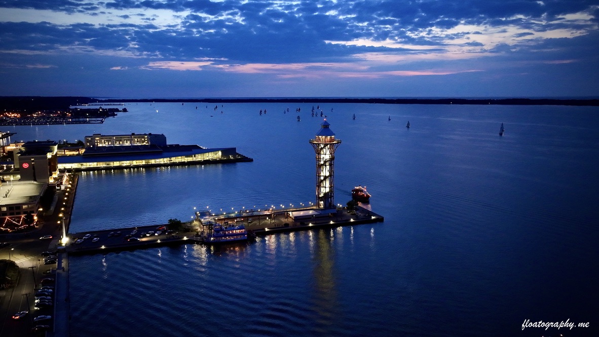
Erie's relationship with the water becomes unmistakable from above. The Bayfront, downtown street grid, waterfront landmarks and glow of the city align in a way that no single ground-level viewpoint can show.
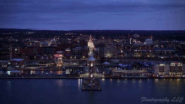
This Floatography series explores the transition from sunset into blue hour and night. Changing elevation and direction reveals both recognizable landmarks and the larger structure of the city around them.
Why this approach works for regional clients
Place-based imagery can do more than identify a building. It can connect a business, property, event or destination to the surrounding city and waterfront. That context is especially valuable for tourism, development, hospitality and organizations whose Erie identity matters to their audience.
See more drone photography and videography services in Erie.